电话:861716190825


邮箱:tongjunjun@tsnavigation.com


Aircraft are prone to subtle jitters and yaw under airflow during aerial survey. Even a tiny 0.01° attitude deviation will cause obvious ghosting and offset of LiDAR point clouds. Fiber-optic strapdown INS works at 200-1000Hz high frequency to record real-time flight attitude, completes accurate motion deskewing for point clouds, and finally produces centimeter-level high-precision 3D terrain models.
GNSS signals are easily shielded or interrupted in urban building clusters and underground tunnels. Featuring excellent zero-bias stability, fiber-optic INS keeps stable positioning via inertial dead reckoning, ensuring seamless connection of mapping data across signal-blind sections.

GNSS signals are easily shielded or interrupted in urban building clusters and underground tunnels. Featuring excellent zero-bias stability, fiber-optic INS keeps stable positioning via inertial dead reckoning, ensuring seamless connection of mapping data across signal-blind sections.
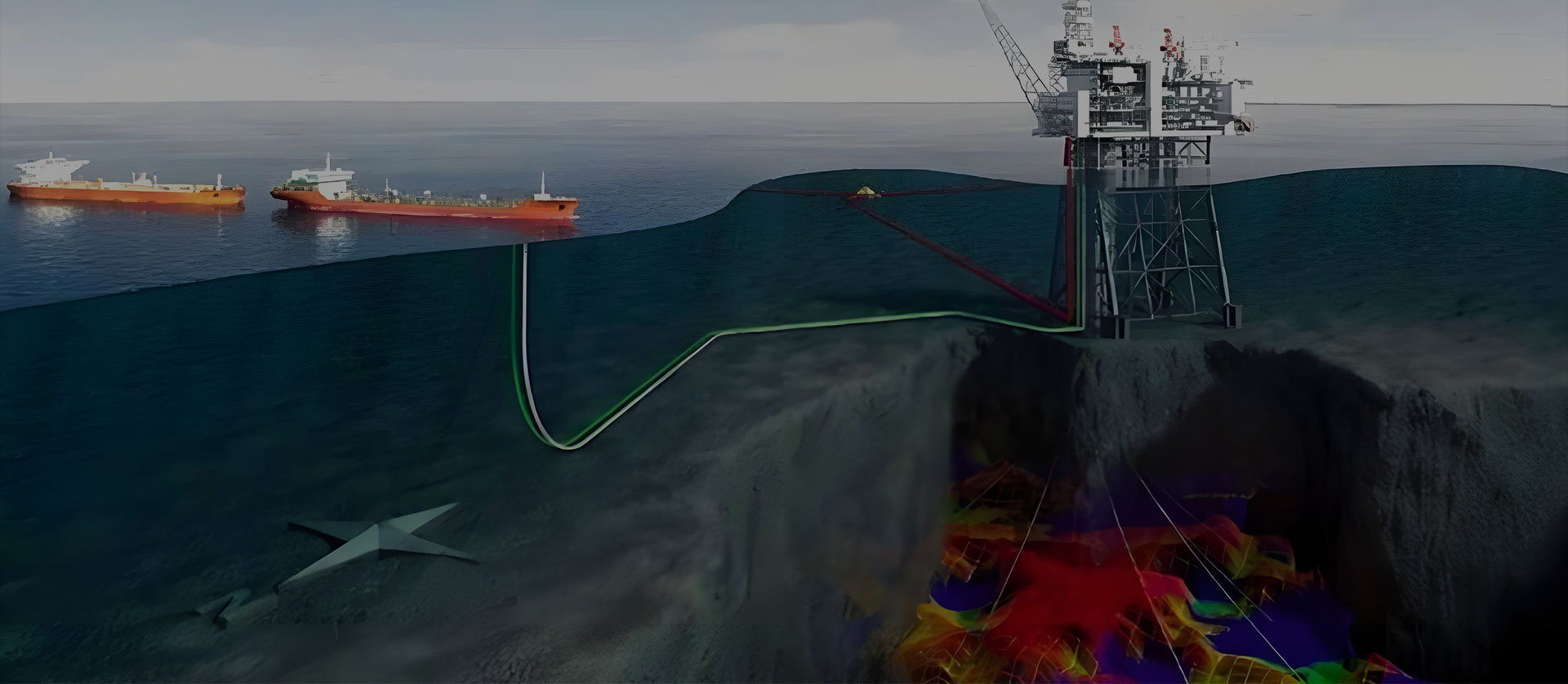
Vessel heave and swing under waves will interfere with multibeam sonar survey results. Serving as professional MRU, fiber-optic INS accurately detects all-dimensional vessel motions, eliminates wave interference effectively and restores real seabed topographic data.





 相关产品
相关产品